The article “The naïve map of the sixteenth-century roads in Spain” by Federico Pablo-Martí and Gustavo Romanillos, published in 2023, offers a unique perspective on historical cartography and its implications in understanding complex societal dynamics of the 16th century Spain. This study integrates methods from the field of complex systems and historical cartography to reconstruct both the actual road network of Spain during the 16th century and the ‘naïve map’, a representation of the perceived road network by the political and cultural elite of that era, particularly by Philip II and his advisors.
The study begins by examining the choice of Madrid as the capital of Spain by Philip II in 1561, emphasizing the importance of geographical and logistical considerations in this decision. It delves into how the king’s and his court’s mental map, shaped by the limited and often inaccurate cartographic knowledge of the time, influenced this crucial political decision. The authors propose that understanding the decision-making process from the perspective of the mental maps held by historical figures can provide a more nuanced understanding of historical events.
Using sophisticated mathematical methods and a thorough analysis of historical sources, including maps and itineraries from the period, the authors reconstructed the actual road network of Spain in the late 16th century. They used Delaunay triangulation, a mathematical technique, to fill in gaps in the historical data, thus creating a more complete picture of the road network. This approach also allowed the authors to construct the ‘naïve map’, representing the perceived road network based on available cartographic and itinerary information of that time.
One of the key findings of this research is the realization that the actual road network of the 16th century and the mental map of it held by the elites were significantly different. This difference is crucial for understanding historical decisions such as the choice of a capital city. The paper argues that these mental maps, influenced by the limitations of contemporary cartography, significantly impacted the political and economic decisions of the time.
The study highlights the radial structure of the road network centered around Toledo, which was later replaced by Madrid. It suggests that this radial structure, evident in both the actual and the naïve maps, influenced the decision to establish Madrid as the capital. The study also discusses the impact of this decision on Spain’s later economic and infrastructural development.
In conclusion, this inno
vative study presents a multidisciplinary approach, integrating complex systems theory and historical cartography, to shed light on the interplay between geographical knowledge, mental maps, and decision-making in 16th-century Spain. It underscores the importance of understanding the perceived geographical realities of historical figures to fully grasp the rationale behind their decisions. This approach opens new avenues for research in historical economics and complex systems, particularly in reinterpreting events based on the limitations and inaccuracies of historical worldviews.
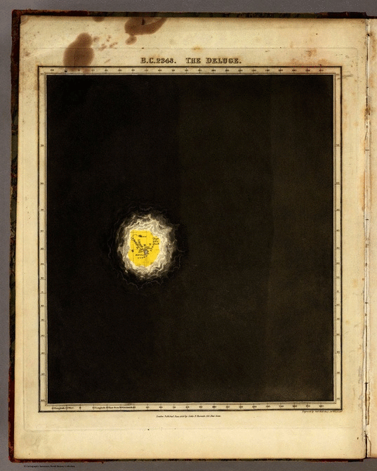
Sources: Onion (2014) made with plates from Edward Quin’s Historical
Atlas in a Series of Maps of the World as Known at Different Periods, with an Historical Narrative, 1830
References
Onion, Rebecca (2014) The “Known World” from 2348 B.C. to A.D. 1828, in the Form of a Single GIF. Slate, JAN 02.
Quin, Edward (1830) Historical Atlas in a Series of Maps of the World as Known at Different Periods, with an Historical Narrative.