Pablo-Martí F, López-Requena J. The Hispania Map of the Hogenberg Road Atlas (1579 ) and the Current Spanish Transport Network. Ann Am Assoc Geogr. 2022;112: 1–17. doi:10.1080/24694452.2022.2042183
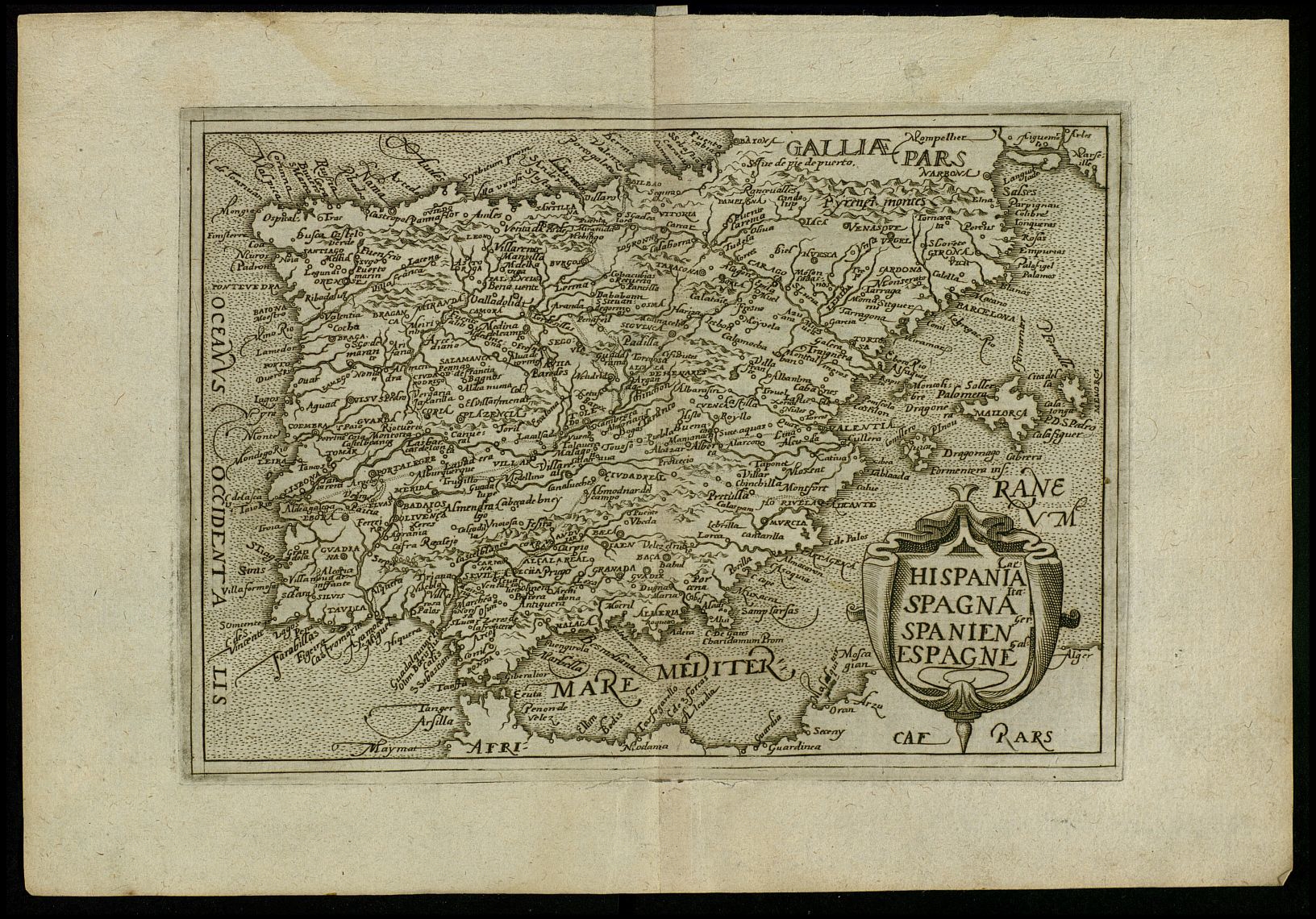
The Itinerarium Orbis Christiani, edited by Hogenberg between 1579 and 1580, is little known, despite being considered the first European road atlas. The Hispania map offers us a network of transport routes, the implementation of which was believed to be later and representative of innovative advances in terms of the visual differentiation of these routes. This article contextualizes and analyzes this map in detail, dating its creation and identifying its sources. It then studies the Spanish transport network during the sixteenth century and, specifically, the characteristics of the three types of routes shown on the map. This is done by comparing it with several itineraries and maps of the time. To confirm the reliability of the Hogenberg map and ensure the existence of the other types of routes shown on the map, proximity algorithms were applied. The research results question the traditional view of the origin and motivations of the Spanish transport network, tracing its unplanned birth at least as far back as the sixteenth century. Key Words: GIS, Hogenberg atlas, road networks, sixteenth-century map, Spain.
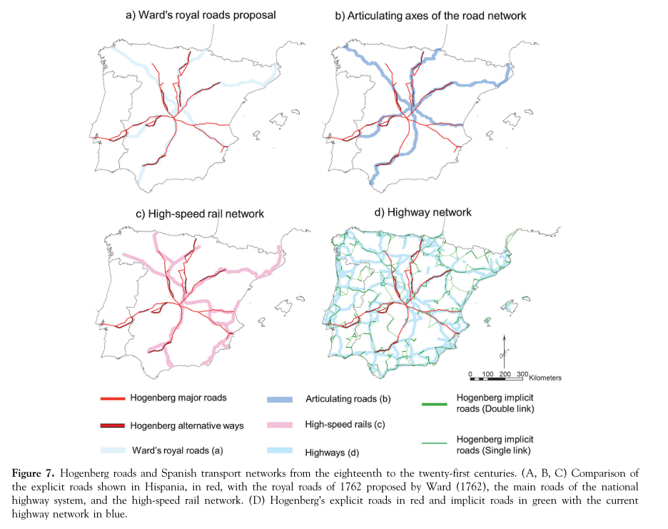
In the attached figure it can be seen how the roads of the Hogeneberg map coincide to a large extent with the basic structure of the current Spanish transport network. This challenges the traditional view that the radial network emerged in the 18th century due to Bourbon centralism.
The Hispania Map in 3D
The information provided on the map is not flawless and is constantly being updated. If you have any inaccuracies or recommendations, kindly utilize the form at the bottom of this page.
WMTS (Use this link to connect the Gough map to your GIS).